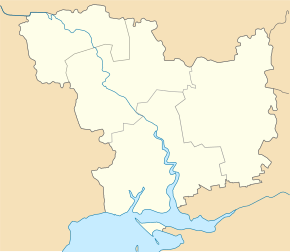
Bilosirka (Witowka)
| Bilosirka | ||
| Білозірка | ||

|
|
|
| Basic data | ||
|---|---|---|
| Oblast : | Mykolaiv Oblast | |
| Rajon : | Vitovka district | |
| Height : | 57 m | |
| Area : | 2.15 km² | |
| Residents : | 1,757 (2004) | |
| Population density : | 817 inhabitants per km² | |
| Postcodes : | 57231 | |
| Area code : | +380 512 | |
| Geographic location : | 47 ° 5 ' N , 32 ° 27' E | |
| KOATUU : | 4823380401 | |
| Administrative structure : | 1 village | |
| Address: | вул. Радянська 108 57 230 с. Білозірка |
|
| Statistical information | ||
|
|
||
Bilosirka ( Ukrainian Білозірка ; Russian Белозёрка Belosjorka ) is a village in the Ukrainian Oblast of Mykolaiv with about 1700 inhabitants (2004).
The village, founded in 1812, was called Barmashowe ( Бармашове ) between 1922 and March 2016 after a local Soviet activist and was then given its current name in the course of decommunization in Ukraine .
Bilosirka is located on the territorial road T – 15–08 43 km northeast of the Oblast center Mykolaiv and is the only village of the district council of the same name in the northeast of Vitovka district .
Web links
Individual evidence
- ↑ a b Website of the village on the website of the Verkhovna Rada , accessed on March 25, 2017


