Bandon Bay
| Bandon Bay | ||
|---|---|---|
| Waters | Gulf of Thailand | |
| Land mass | Malay Peninsula | |
| Geographical location | 9 ° 18 ′ N , 99 ° 21 ′ E | |
|
|
||
| Coastline | 100 km | |
| Tributaries | Tapi , Phum Duang | |
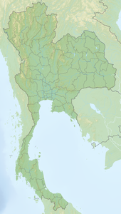
The Bandon Bay ( อ่าว บ้าน ดอน - Ao Ban Don ) is a bay in the Gulf of Thailand in the province of Surat Thani . It is named after the city of Surat Thani , which was called Ban Don until 1915 .
The bay extends from the Sui Cape ( แหลม ซุย ) in the Chaiya district ( Chaiya district) in the northwest to the Kanchanadit district (Kanchanadit district) in the east. The entire coastline is about 100 kilometers.
The mouth of the rivers (Maenam) Tapi and Phum Duang lie in the bay . It is relatively shallow, with water depths between one and five meters. Due to the high sedimentation, there is a Wadden Sea along the coast that was overgrown with mangroves ( Sonneratia spp., Rhizophora spp. ). Today shrimp farms have largely supplanted the natural mangrove forests .
literature
- Wolf Donner: The Five Faces of Thailand . Institute of Asian Affairs, Hamburg 1978, Paperback Edition: University of Queensland Press, St. Lucia, Queensland 1982, ISBN 0-7022-1665-8
