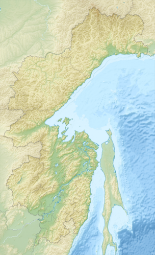
Bureja Mountains
| Bureja Mountains | ||
|---|---|---|
| Highest peak | nameless summit ( 2167 m ) | |
| location | Khabarovsk Region , Jewish Autonomous Oblast ( Russia ) | |
|
|
||
| Coordinates | 50 ° 0 ′ N , 133 ° 0 ′ E | |
The Bureinsky Ridge ( Russian хребет Буреинский , Bureinski Chrebet, after the eponymous river , from Evenki biraja for "flow") is located in the far east of Russia .
In the north the Bureja Mountains merge into the Dusse-Alin , in the south the Bureja Mountains continue into the Little Hinggan Mountains . The Amgun separates the Bureja Mountains from the Badschal Mountains, which run further east .
The highest point is a 2164 m high nameless summit ( ⊙ ). The headwaters of the Amgun have their source in the 400 km long mountain range. The headwaters of the Bureja in the north of the mountains are located in the Bureja nature reserve and are under nature protection.
The Baikal-Amur mainline crosses the mountain range in the approx. 1800 m long Dusse-Alin tunnel ( ⊙ ), which was opened in 1984 .
Individual evidence
- ↑ Article Bureja Mountains in the Great Soviet Encyclopedia (BSE) , 3rd edition 1969–1978 (Russian)
