Dusse-Alin
| Dusse-Alin | ||
|---|---|---|
| Highest peak | nameless summit ( 2179 m ) | |
| location | Khabarovsk region | |
|
|
||
| Coordinates | 52 ° 7 ' N , 134 ° 54' E | |
| rock | metamorphic rock , granite | |
|
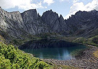
Medvezhye Lake |
||
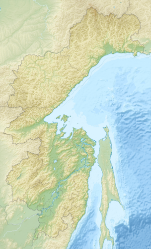
The Dusse-Alin ( Russian Дуссе-Алинь ) is a mountain range in the Khabarovsk region in the Far East of Russia .
The Dusse-Alin forms the northern continuation of the Bureja Mountains . The mountain range extends in a predominantly north-south direction over a length of about 150 km. The highest point is a 2179 m high nameless summit ( ⊙ )
In the north, the Dusse-Alin borders the Esopkamm and the Jam-Alin . The Dusse-Alin forms the watershed between the Bureja and Amgun rivers . In the south the Bureja Mountains are the continuation.
The mountain range consists of metamorphic rock and granite .
Larch forests grow in the lower elevations (below 1300 m ) , while mountain tundra and dwarf pine vegetation predominate in higher elevations .
The Bureja nature reserve extends over the headwaters of the Bureja on the western slope of the Dusse-Alin.
Individual evidence
- ↑ a b c d Article Дуссе-Алинь in the Great Soviet Encyclopedia (BSE) , 3rd edition 1969–1978 (Russian)


