Jam-Alin
| Jam-Alin | ||
|---|---|---|
| Highest peak | nameless summit ( 2370 m ) | |
| location | Khabarovsk Region , Amur Oblast ( Russia ) | |
|
|
||
| Coordinates | 53 ° 36 ′ N , 134 ° 35 ′ E | |
| rock | Granite , mica slate | |
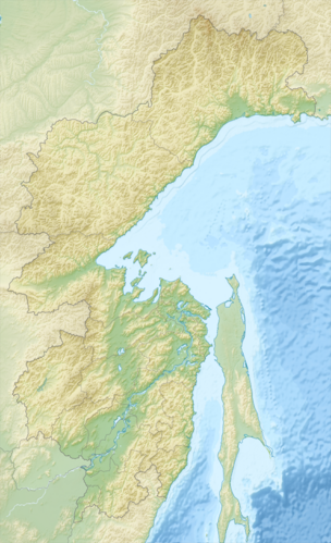
The Jam-Alin ( Russian Ям-Али́нь ) is a mountain range in the Far East of Russia .
The Yam-Alin extends in a north-south direction over a length of 180 km along the border between the Amur Oblast and the Khabarovsk region . The highest point is a 2370 m high nameless summit ( ⊙ ). The 2232 m high Gorod-Makit ( ⊙ ) rises further south .
In the south, the Jam-Alin borders on the Esopkamm, which runs in an east-west direction, and the Dusse-Alin , which is the continuation of the Jam-Alin to the south. The Jam-Alin forms the watershed between the catchment areas of Selemdscha in the west and Nimelen and Tugur in the east.
Granite and mica slate occur in the mountains .
Larch forests grow in the lower elevations (below 1500 m ) , while mountain tundra and dwarf pine vegetation predominate in higher elevations .
Individual evidence
- ↑ a b c d Article Ям-Алинь in the Great Soviet Encyclopedia (BSE) , 3rd edition 1969–1978 (Russian)
- ↑ Yam-Alin Range High Point, Russia on Peakbagger.com (English)
