Carney (Maryland)
| Carney | ||
|---|---|---|
|
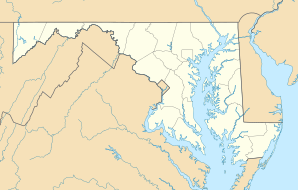
Location in Maryland
|
||
| Basic data | ||
| State : | United States | |
| State : | Maryland | |
| County : | Baltimore County | |
| Coordinates : | 39 ° 24 ′ N , 76 ° 31 ′ W | |
| Time zone : | Eastern ( UTC − 5 / −4 ) | |
| Residents : | 28,264 (as of: 2000) | |
| Population density : | 1,561.5 inhabitants per km 2 | |
| Area : | 18.1 km 2 (about 7 mi 2 ) of which 18.1 km 2 (about 7 mi 2 ) is land |
|
| Height : | 108 m | |
| FIPS : | 24-13325 | |
| GNIS ID : | 0589899 | |
Carney is a community free area and a census-designated place in Baltimore County in the US state of Maryland . Carney has 28,264 inhabitants on an area of 18.1 km². Carney is near Baltimore and Towson and is affected by Interstate 695 and Maryland State Route 147 .
education
Carney has several schools:
- Carney Elementary School
- Harford Hills Elementary School
- Pine Grove Middle School
- Loch Raven High School
- Parkville High School
Web links
Commons : Carney (Maryland) - Collection of pictures, videos and audio files
