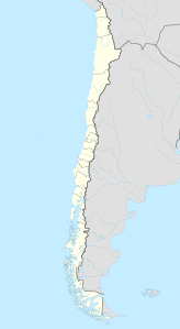
Cerro del Azufre
| Cerro del Azufre | ||
|---|---|---|
|
Cerro del Azufre |
||
| height | 5846 m | |
| location | Chile | |
| Mountains | To the | |
| Coordinates | 21 ° 47 ′ 14 ″ S , 68 ° 14 ′ 15 ″ W | |
|
|
||
| Type | Stratovolcano | |
The Cerro del Azufre is the largest and youngest volcanic area within a 50-kilometer chain of north-west to south-east oriented volcanoes in Chile , immediately west of the Bolivian-Chilean border in the Antofagasta region . The northern summit forms the highest point of the Andesite volcano at 5846 meters . On the northern flank, some lava flows formed in the late Pleistocene , but these were largely covered by debris avalanches. There are no reliable scientific data on the last eruption of the volcano.
Web links
- Cerro del Azufre in the Global Volcanism Program of the Smithsonian Institution (English)

