Clayton (Delaware)
|
|
This article was on the basis of substantive defects quality assurance side of the project USA entered. Help bring the quality of this article to an acceptable level and take part in the discussion ! A closer description on the resolving issues is missing. |
| Clayton | ||
|---|---|---|
 Main Street (Delaware Route 6) |
||
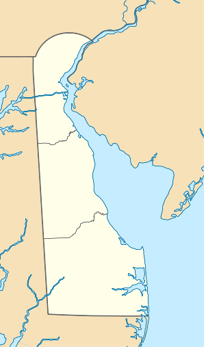
| Location in Delaware | ||
|
|
||
| Basic data | ||
| State : | United States | |
| State : | Delaware | |
| Counties : |
Kent County New Castle County |
|
| Coordinates : | 39 ° 17 ′ N , 75 ° 38 ′ W | |
| Time zone : | Eastern ( UTC − 5 / −4 ) | |
| Residents : | 2,918 (as of 2010) | |
| Population density : | 1,122.3 inhabitants per km 2 | |
| Area : | 2.6 km 2 (approx. 1 mi 2 ) of which 2.6 km 2 (approx. 1 mi 2 ) are land |
|
| Height : | 14 m | |
| Postal code : | 19938 | |
| Area code : | +1 302 | |
| FIPS : | 10-15440 | |
| GNIS ID : | 213805 | |
Clayton is a small town in Kent County in the US state of Delaware , United States . It is named after John Middleton Clayton , a US Secretary of State in the 19th century.
Clayton has a population of 2,918 (2010 census). The urban area has a size of 2.6 km². The parish is located about 70 km south of the capital, Delaware, Dover , and about 20 km west of the Delaware River .
Web links
Commons : Clayton (Delaware) - Collection of pictures, videos, and audio files

