Deseret Peak
| Deseret Peak | ||
|---|---|---|
| height | 3363 m | |
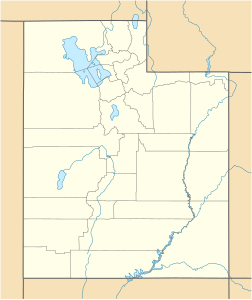
| location | Tooele County , Utah , United States | |
| Mountains | Stansbury Mountains | |
| Dominance | 74.16 km | |
| Notch height | 1771 m | |
| Coordinates | 40 ° 27 '34 " N , 112 ° 37' 34" W | |
|
|
||
The Deseret Peak with 3363 meters the highest point of the Stansbury Mountains in Utah . The mountain is located in the Deseret Peak Wilderness area, west of Grantsville and east of the Skull Valley Indian Reservation . The area is a popular destination for hikers due to the contrast between the alpine wilderness and the surrounding desert basin. The trail leading to the summit is easily accessible from Salt Lake City . The mountain offers a view of the Bonneville Salt Flats , the Great Salt Flat , and the surrounding towns and mountain ranges. On a clear day it is possible to see Mount Nebo , the highest peak in the adjacent Wasatch Range .
Web links
- Deseret Peak Trail . Utah.com. Retrieved April 9, 2012.
- Deseret Peak . Mick's Mountain Page. Retrieved April 9, 2008.
Individual evidence
- ↑ Deseret Peak on Peakbagger.com (English)

