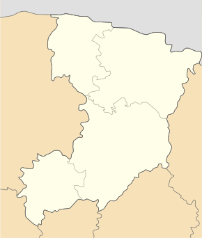
Dorohobusch
| Dorohobusch | ||
| Дорогобуж | ||

|
|
|
| Basic data | ||
|---|---|---|
| Oblast : | Rivne Oblast | |
| Rajon : | Hoshcha district | |
| Height : | 211 m | |
| Area : | 1.659 km² | |
| Residents : | 663 (2004) | |
| Population density : | 400 inhabitants per km² | |
| Postcodes : | 35434 | |
| Area code : | +380 3650 | |
| Geographic location : | 50 ° 37 ' N , 26 ° 34' E | |
| KOATUU : | 5621282002 | |
| Administrative structure : | 1 village | |
| Address: | вул. Центральна 29 35 433 с. Горбаків |
|
| Statistical information | ||
|
|
||
Dorohobusch ( Ukrainian Дорогобуж ; Russian Дорогобуж Dorogobusch , Polish Drohobuż ) is a village in Rivne Oblast in Hoschtscha Raion in Ukraine with 663 inhabitants.
The village forms together with the villages of Horbakiv ( Горбаків ), Illinois ( Іллін ), Mnyschyn ( Мнишин ), Podoljany ( Подоляни ), Tomachiw ( Томахів ) and Schkariw ( Шкарів ) the Horbakiv district .
history
The place was first mentioned in 1084 when the castle was given to Dawid Igorewitsch .
Attractions
- former wooden castle, 11th – 13th centuries century
- Church of the Assumption of the Virgin Mary , 2nd half of the 17th century
The Hodegetria von Dorohobusch , 13th century, comes from Dorohobusch , the oldest icon of this kind in Volhynia , today in the museum in Lviv .
Web links
- Drohobuż . In: Filip Sulimierski, Władysław Walewski (eds.): Słownik geograficzny Królestwa Polskiego i innych krajów słowiańskich . tape 2 : Derenek – Gżack . Sulimierskiego and Walewskiego, Warsaw 1881, p. 150 (Polish, edu.pl ).
- Дорогобуж (place)
- Дорогобуж (castle and church)


