Jazirat Lima
| Jazirat Lima | ||
|---|---|---|
| Waters | Gulf of Oman | |
| Geographical location | 25 ° 56 '32 " N , 56 ° 27' 59" E | |
|
|
||
| length | 540 m | |
| width | 140 m | |
| surface | 3 ha | |
| Highest elevation | 86.9 m above sea level NN | |
| Residents | uninhabited | |
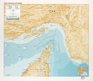
| Jazīrat Līma on the CIA card from 1987 | ||
Jazirat Lima ( Arabic جزيرة ليماء, DMG Ǧazīrat Līmāʾ , English Lima Rock ) is a small island belonging to Oman that lies off the east coast of the Musandam Peninsula. It is located 640 meters east-southeast of the Ras Lima headland in the Gulf of Oman . It is 540 meters long from east to west and a maximum of 140 meters wide. It reaches a height of 86.9 meters.
The area covers a good three hectares .
After the IHO demarcation between the Gulf of Oman and the Persian Gulf between Ras Limah ( 25 ° 56 '44 " N , 56 ° 27' 21" O ) and the 86 km eastern Ras al cow ( 25 ° 47 ′ 52 ″ N , 57 ° 17 ′ 52 ″ E ) runs on the coast of Iran , the island is located immediately south of this borderline, i.e. falls into the Gulf of Oman (extreme northwest).
The island is made of limestone , with steep cliffs.
Administratively, the island belongs to the Wilāyāt al-Chasab in the Musandam Governorate.
Individual evidence
- ↑ Persian Gulf, Eastern Part ( 285ft on the nautical chart)
- ↑ International Hydrographic Organization: Limits of Oceans and Seas, 3rd edition, 1953 , p. 20
- ↑ Freestyle Divers: Lima Rock

