Dynkur
| Dynkur | ||
|---|---|---|
| Coordinates | 64 ° 20 '19.7 " N , 19 ° 11' 36.2" W | |
|
|
||
| place | Southurland , Iceland | |
| height | 50 | |
| flow | Þjórsá | |
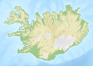
The Dynkur is a waterfall in the south of Iceland .
It is located in the highlands north of the Sultartangalón about 11 km west of the Sprengisandsleið ![]() at the level of the Þórisvatn . The Þjórsá falls here in three stages by 50 m. The river forms the border between the municipalities Skeiða- og Gnúpverjahreppur in the west and the Holtahreppur in the east. The Holtamenn call the waterfall Búðarhálsfoss after the mountain Búðarháls (661 m) in their area.
at the level of the Þórisvatn . The Þjórsá falls here in three stages by 50 m. The river forms the border between the municipalities Skeiða- og Gnúpverjahreppur in the west and the Holtahreppur in the east. The Holtamenn call the waterfall Búðarhálsfoss after the mountain Búðarháls (661 m) in their area.
See also
Individual evidence
- ↑ Dynkur, Budarhalsfoss, Búðarhálsfoss. Accessed August 8, 2019 .
