
Elyachin
| Elyachin | |||
|---|---|---|---|
| Basic data | |||
| hebrew : | אֶלְיָכִין | ||
| State : |
|
||
| District : | Central | ||
| Coordinates : | 32 ° 25 ' N , 34 ° 55' E | ||
| Height : | 31 m | ||
| Area : | 1,660 km² | ||
| Residents : | 3486 (as of: 2018) | ||
| Population density : | 2,100 inhabitants per km² | ||
| Community code : | 0041 | ||
| Time zone : | UTC + 2 | ||
| Community type: | Local association | ||
|
|||

Eljachin is a local association in the central district of Israel directly south of Hadera with 3486 inhabitants (2018) on an area of 1.66 km².
history
Eljachin was founded in 1950, originally by Jews from Yemen, later also from Iran and the Kurdish region. The name translated means "God will prepare." The founders wanted to express their belief that God had prepared everything for the construction of the place. In 1977 Eljachin was appointed a local association .
Population development
| year | 2008 | 2012 |
| Residents | 2,900 | 3.231 |
gallery
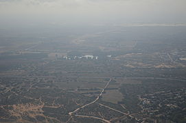
Eljachin from the air

Web links
Commons : Eljachin - collection of images, videos and audio files
- ↑ אוכלוסייה ביישובים 2018 (population of the settlements 2018). (XLSX; 0.13 MB) Israel Central Bureau of Statistics , August 25, 2019, accessed May 11, 2020 .