
Emirau
| Emirau | ||
|---|---|---|
.JPG) |
||
| Waters | Bismarcksee | |
| Archipelago | St. Matthias Islands | |
| Geographical location | 1 ° 39 ′ S , 149 ° 59 ′ E | |
|
||
| length | 13 km | |
| width | 3.2 km | |
| surface | 50 km² | |
| Highest elevation | 37 m | |
| Residents | 700 14 inhabitants / km² |
|
| main place | Pakane | |
 |
||

Emirau (also Emir , Emira Kerue , Squally , Storm Island , Sturminsel ) is an island in the north of Papua New Guinea and administratively belongs to the Murat Rural Local-Level Government Area of the Province of New Ireland .
geography
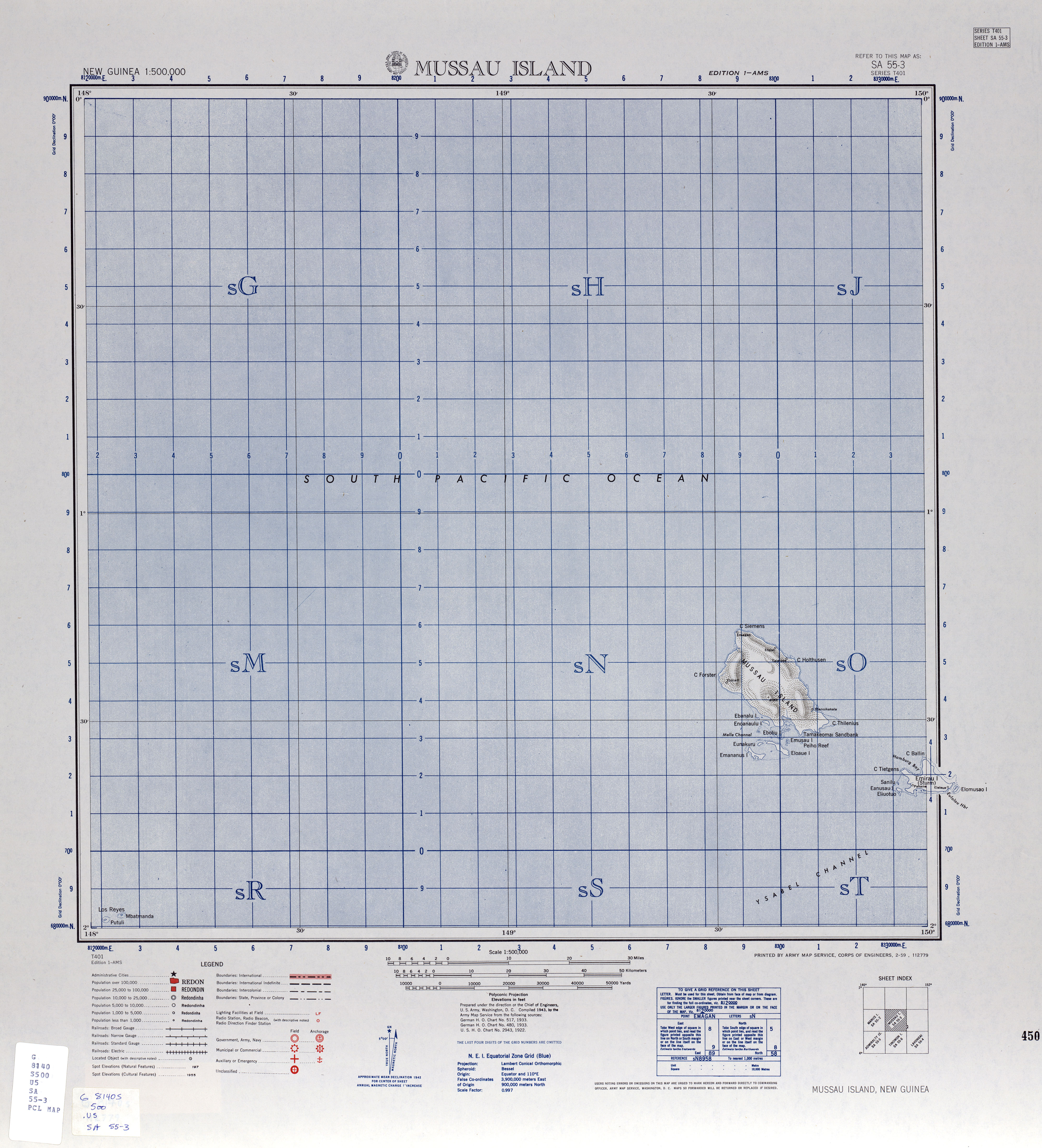
Emirau is the second largest island of the St. Matthias Islands archipelago and is located 26 km southeast of the main island of Mussau . It is 13 km long, 3.2 km wide, hilly and densely forested, with a height of up to 37 meters. The interior of the island is covered by a 36 hectare plateau. Emirau consists of upscale coral limestone and is surrounded by a coral reef .
The coast is severely divided by numerous sea bays as well as protruding peninsulas and headlands. The Hamburg Bay (Port of Hamburg) stretches between Cape Ballin, the northernmost headland, and Cape Tietgens to the east. In the east of the coast are the islands of Sanilu and Anusau, in the west Elomusao.
On the south coast there is a former German plantation and a mission station of the Seventh-day Adventists . Other places are Pakane in the northwest and Tasagina on the southeast coast.
history
William Dampier discovered the island on February 26, 1700 for the western world and named it Squally Island . The area came under German administration in 1885 and belonged to German New Guinea since 1899 . In 1914 Australian troops captured the island. After the First World War it was administered as a mandate of the League of Nations of Australia. From 1942 to 1944, Emirau was occupied by Japan . The island was used by the US military as an air force base in March 1944 . She returned to Australian administration in 1949. It has been part of the independent state of Papua New Guinea since 1975.
Mussau-Emira is spoken in Emirau. The language, with Tenis from the island of Tench , is one of the two languages of the St. Matthias subgroup of the Oceanic languages in the Austronesian language family .
Emirau has been classified by BirdLife International as a bird sanctuary for endemic bird species (Endemic Bird Areas, EBA). A subspecies of the woodpecker parrots, the St. Matthias woodpecker parrot (Micropsitta meeki proxima) , is only known from Mussau and Emirau.
Web links
- Sturminsel Deutsches Kolonial-Lexikon (1920), Volume III, p. 431
- Saint Matthias Islands on oceandots.com ( Memento from December 23, 2010 in the Internet Archive ) (English)
- Map of Emirau and Mussau , US Army Map Service, 1942, University of Texas Libraries
Individual evidence
- ↑ Sailing Directions (enroute), Pub. 126 (PDF file; 4.84 MB)
- ^ A Voyage to New Holland Early Australian Voyages: Pelsart, Tasman, Dampier by Pinkerton, John, 1758-1826
- ^ Mussau-Emira: a language of Papua New Guinea SIL International, Ethnologue: Languages of the World