
Mussau
| Mussau | ||
|---|---|---|
.JPG) |
||
| Waters | Bismarcksee | |
| Archipelago | St. Matthias Islands | |
| Geographical location | 1 ° 27 ′ S , 149 ° 37 ′ E | |
|
||
| length | 32 km | |
| width | 15 km | |
| surface | 414 km² | |
| Highest elevation | Eunainaun 651 m |
|
| Residents | 2900 7 inhabitants / km² |
|
| main place | Boliu | |

Mussau (also St. Matthias Island or Prince William Henry Island ) is an island in the north of Papua New Guinea and administratively belongs to the Murat Rural Local-Level Government Area of the Province of New Ireland .
geography
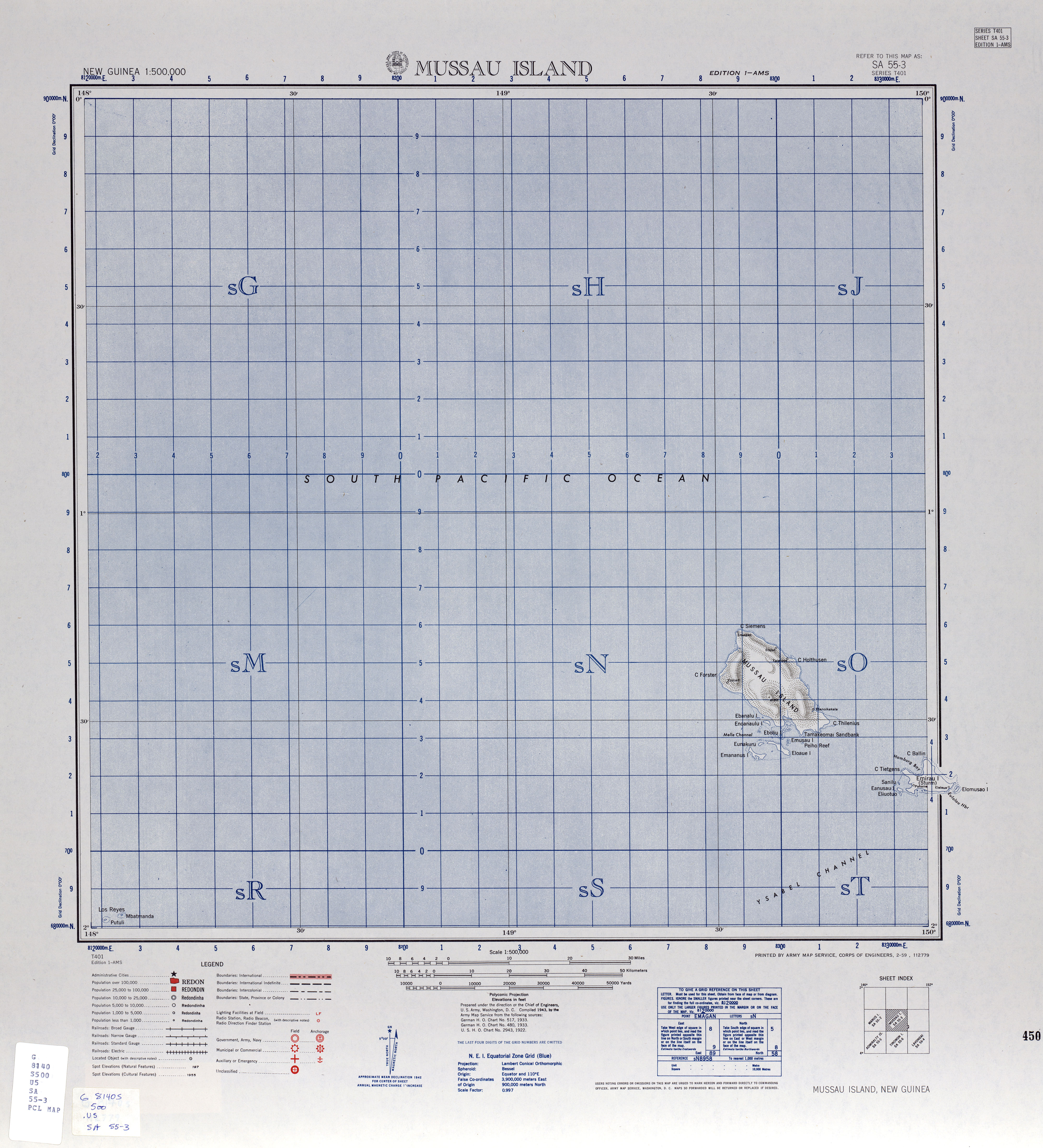
Mussau is the largest island in the group of St. Matthias Islands . It is surrounded by a coral reef . The highest point is the Eunainaun with a height of 651 m. In the southwest, separated from Mussau by the Melle Canal, there is another coral reef with several islands, including Emananus and Eloaua, as well as various smaller islands such as Boliu, Emussau, Ebanalu and Ekaleu.
There are a number of villages on the island, mostly on the coast. In the south is Boliu, where there is a Seventh-day Adventist School , on the southwest coast are Malakata, Loliang and Lamusmus, in the north Bai, and on the northeast coast Tabalo, Katalusa and Tasitel.
Mussau-Emira is spoken in Mussau. The language, with Tenis from the island of Tench , is one of the two languages of the St. Matthias subgroup of the Oceanic languages in the Austronesian language family . Emirau , the second largest island in the archipelago, is 26 km east of Mussau.
Mussau has been classified by BirdLife International as a bird sanctuary for endemic bird species (Endemic Bird Areas, EBA). A subspecies of the woodpecker parrots, the St. Matthias woodpecker parrot (Micropsitta meeki proxima) , is only known from Mussau and Emirau. The white-backed monarch or St. Matthias monarch (Monarcha menckei) and the black-breasted fan tail (Rhipidura matthiae) are endemic to Mussau and classified as "almost threatened".
history
The island was discovered for Europe in 1616 by the Dutch navigators Jacob Le Maire and Willem Cornelisz Schouten . The area came under German administration in 1885 and belonged to German New Guinea since 1899 . On April 1, 1901, locals attacked the Mencke expedition during their stay on Mussau. Bruno Mencke, the financier and head of the company, and three of his companions died in the attack.
In the summer of 1901, members of the police force and a landing division of the cruiser SMS Cormoran under the commandant Corvette Captain Max Grapow carried out a massacre among the island's residents during a “punitive expedition” to Mussau . In response to the death of Mencke and his companions, they drove numerous people into a cave system and shot anyone who tried to leave the caves. 81 local people, including many women and children, were killed.
In 1914 Australian troops conquered the island, after the First World War it was administered as a mandate of the League of Nations of Australia. From 1942 to 1944, Mussau was occupied by Japan , but returned to Australian administration in 1949. It has been part of the independent state of Papua New Guinea since 1975.
Web links
- Saint Matthias Islands on oceandots.com ( Memento from December 23, 2010 in the Internet Archive ) (English)
- Map of Mussau , US Army Map Service, 1942, University of Texas Libraries
Individual evidence
- ↑ Eunainaun Mount, Papua New Guinea Peakbagger.com
- ^ Mussau-Emira: a language of Papua New Guinea SIL International, Ethnologue: Languages of the World
- ↑ Simon Haberberger: Colonialism and cannibalism. Cases from German New Guinea and British New Guinea 1884-1914 Sources and research on the South Seas. Series B. Research 3. Harrassowitz, Wiesbaden 2007. S. 74 / S. 75 ISBN 3-447-05578-2