Fürstenbrunn spring cave
| Fürstenbrunn spring cave
|
||
|---|---|---|
|
Spring catchment (built 1875) |
||
| Location: | State of Salzburg , Austria | |
| Height : | 595 m above sea level A. | |
|
Geographic location: |
47 ° 44 '19 " N , 12 ° 59' 39" E | |
|
|
||
| Cadastral number: | 1339/10 | |
| Geology: | Dachstein Limestone | |
| Type: | Spring cave | |
| Overall length: | 2200 m | |
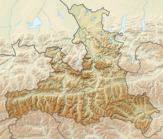
The Fürstenbrunn spring cave is located near Fürstenbrunn , a district of Grödig in Austria.
nature
The source rises at a height of 595 m near the eastern movement area of the here about 30 m wide, 325 ° trending fracture zone. The city of Salzburg has been supplied with water from the Dachstein limestone of the Untersberg via the cave since 1875 . It probably drains the giant thing cave system as well as the Kolowrat cave and the wind holes . A length of 2200 m is known. A special permit from the Salzburg drinking water supply is required to enter the closed cave.
literature
- Walter Klappacher, Hans Baumgartlinger: Salzburger Höhlenbuch , supplementary volume to volumes 1 - 5, volume 6, Verlag Landesverein für Höhlenkunde in Salzburg, 1996
Web links
Individual evidence
- ^ Negotiations of the Federal Geological Institute , Verlag Geologische Bundesanstalt., 1963, page 49
- ↑ Ulrich Meyer: In search of the Barbarossa system in the Untersberg . In: Files of the 13th National Speleological Congress, 2012 - Actes du 13e Congrès national de Spéléologie . Muotathal 2012, p. 68–74 ( 462KB PDF [accessed October 25, 2012]).
- ^ Franz Lindenmayr: Fürstenbrunn. Retrieved September 1, 2012 .

