Flin Flon Airport
| Flin Flon Airport | ||
|---|---|---|
|
|
||
| Characteristics | ||
| ICAO code | CYFO | |
| IATA code | YFO | |
| Coordinates | ||
| Height above MSL | 304 m (997 ft ) | |
| Basic data | ||
| operator | City of Flin Flon | |
| Start-and runway | ||
| 18/36 | 1524 m × 46 m asphalt | |
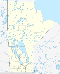
Flin Flon Airport is a Canadian regional airport approximately 15 kilometers southeast of the city of Flin Flon in the province of Manitoba , Canada.
The airport is connected to the city by Manitoba Highway 10 and is managed by its city council. Bearskin Airlines and Calm Air are currently providing scheduled services to The Pas and Winnipeg .
Web links
- Airport data on World Aero Data ( 2006 )
- Airport data in the Aviation Safety Network (English)
