
Frøslev Mark
Frøslev Mark (German: Frösleefeld ) is an area of the place Frøslev on the German-Danish border near Flensburg , in which there are several settlements .
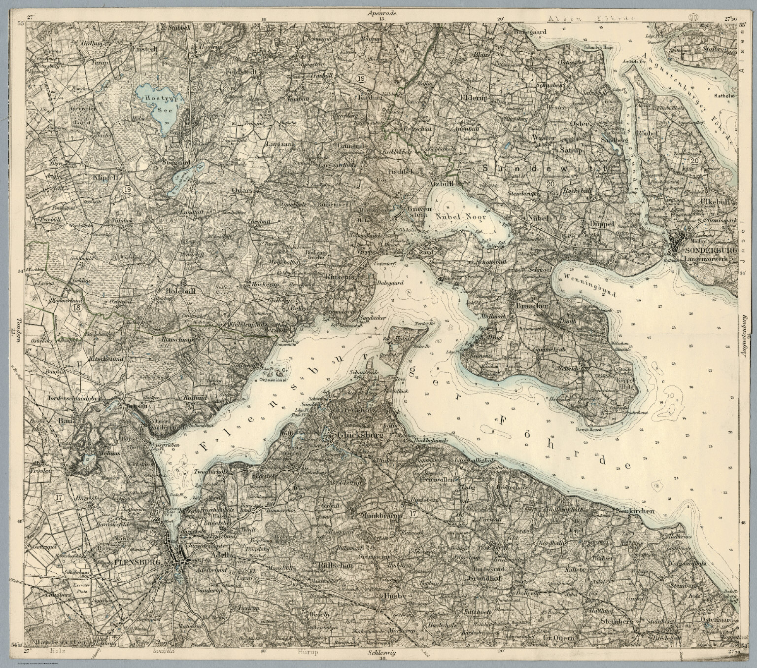
location
Frøslev Mark is located south and southwest of Frøslev and south of the Frøslev Plantation. In the eastern part of Frøslev Mark, on the southern edge, is the small German-Danish town of Simondys . The eastern part is separated from the western part by the Europastraße 45 (or the extension of the federal motorway 7 ). Kristiansminde and the settlement Kolonisthuse are located in the western part on the edge of the forest .
Incidentally, "Frøslev Mark" or "Frösleefeld" apparently originally also referred to an undeveloped field area north of Fröslee, which was built after the Second World War and is no longer generally named that way today. ( Location ).
history
In the 18th century the settlement Kolonisthuse was built in the western part of Frøslev Mark, near Ellund . Frøslev Mark was already entered on the map of the Prussian Land Survey around 1879 under the German name Fröslee Feld. After the referendum in Schleswig in 1920, Frøslev Mark and parts of the neighboring settlements Simondys and Wilmkjer came to Denmark. Frøslev and Frøslev Mark, separated from Handewitt parish by the new border , were added to Bau parish .
During the Second World War , there were spotlight positions , anti-aircraft guns and a mock airfield that were supposed to hinder the air raids on Flensburg . In addition to this "dummy airport Frösleefeld" ( location ), there was also a "dummy airport Ellundfeld" to the southeast.
Individual evidence
- ↑ Frøslev Plantage & Frøslev Mose , accessed on: July 20, 2020
- ^ Prussian land survey of Weibek / Medelby ; Map of the Prussian Land Registry and David Rumsey Historical Map Flensburg. Reichsamt fur Landesaufnahme 1893 ( The link directly to a rough version of the map )
- ^ Prussian land survey of Flensburg North / construction around 1879 ; Map of the Prussian land survey
- ↑ Prussian land survey around 1879 , accessed on: March 8, 2020
- ↑ Anden verdenskrig lang grænsen , accessed on: July 20, 2020
- ↑ The Andes are greening too slowly. Attrapflyveplads på Frøslev Mark or (Googel translation of the page)
Coordinates: 54 ° 48 ′ 48.8 ″ N , 9 ° 19 ′ 36.3 ″ E