Freudental (SH)
| Freudental | ||
|---|---|---|
|
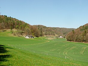
The Freudental in the canton of Schaffhausen . |
||
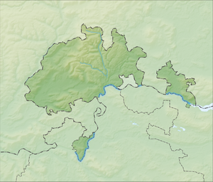
| location | Canton of Schaffhausen , Switzerland | |
| Waters | Freudentalbach | |
| Mountains | Reiat | |
| Geographical location | 690 198 / 288 064 | |
|
|
||
| height | 678 to 480 m above sea level M. | |
The Freudental is a valley in the canton of Schaffhausen in Switzerland . The two-armed valley crosses the heights of the Reiat in a southerly direction. The road to Stetten and Büttenhardt leads through the eastern arm, which is also called Taal . The valley is used for agriculture and forestry. Except for three farms it is uninhabited. The Freudental ends in the area of the city of Schaffhausen at the paleolithic site of the Schweizersbild .

