Granby (Connecticut)
| Granby | ||
|---|---|---|
|
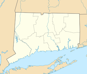
Location in Connecticut
|
||
| Basic data | ||
| Foundation : | 1723 | |
| State : | United States | |
| State : | Connecticut | |
| County : | Hartford County | |
| Coordinates : | 41 ° 58 ′ N , 72 ° 50 ′ W | |
| Time zone : | Eastern ( UTC − 5 / −4 ) | |
| Residents : | 11,088 (as of 2005) | |
| Population density : | 105.2 inhabitants per km 2 | |
| Area : | 105.7 km 2 (approx. 41 mi 2 ) of which 105.4 km 2 (approx. 41 mi 2 ) is land |
|
| Height : | 131 m | |
| Postcodes : | 06035, 06060, 06090 | |
| Area code : | +1 860 | |
| FIPS : | 09-32640 | |
| GNIS ID : | 0213434 | |
| Website : | www.granby-ct.gov | |
Granby is a place in Hartford County in the US state of Connecticut , United States , with 11,200 inhabitants (as of 2004 ). The geographical coordinates are: 41.57 ° North, 71.93 ° West. The urban area has a size of 105.7 km².
traffic
Granby is a local transportation hub. It hit here the State Route 10 , 20 , 189 and 219 as well as US Highway 202 to each other. The connection to Interstate 91 is about 10 km away .
schools
- Granby Memorial High School
- Granby Middle School
- Wells Road Elementary School
- Kelly Lane School
- FM Kearns Primary School
Web links
Commons : Granby, Connecticut - collection of pictures, videos, and audio files
