Granite Harbor
| Granite Harbor | ||
|---|---|---|
| Waters | Ross Sea | |
| Land mass | Victoria Land , East Antarctica | |
| Geographical location | 76 ° 53 ' S , 162 ° 44' E | |
|
|
||
| width | approx. 22.5 km | |
| Islands | Tiger Island | |
| Tributaries | Benson Glacier , Harbor Glacier , Hunt Glacier , Mackay Glacier , Marston Glacier , New Glacier , Robson Glacier | |
|
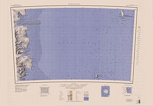
1962 map of part of the Scottish Coast , Granite Harbor to the southwest |
||
The Granite Harbor ( English for granite harbor ) is a bay with a north-south extension of around 22.5 km on the Scott coast of the East Antarctic Victoria Land . Your entrance is between Cape Archer and Cape Roberts .
The bay was discovered by participants in the Discovery Expedition (1901-1904) led by the British polar explorer Robert Falcon Scott in January 1902 in search of a safe haven for the expedition ship. It was named after the large granite rocks that are on the shore of the bay.
Web links
- Granite Harbor in the Geographic Names Information System of the United States Geological Survey (English)
- Granite Harbor on geographic.org (English)

