Grinder Island
| Grinder Island | ||
|---|---|---|
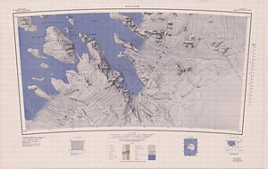
| Topographic map sheet 1: 250,000 with Grinder Island | ||
| Waters | Sulzberger Ice Shelf | |
| Archipelago | Marshall Archipelago | |
| Geographical location | 77 ° 34 ′ S , 149 ° 20 ′ W | |
|
|
||
| length | 11 km | |
| width | 1.5 km | |
The Grinder Island (also known as Grinder Island ) is an ice-covered island located about 22 km southwest of Steventon Island in the Marshall Archipelago within the Sulzberger Ice Shelf off the Saunders coast of the West Antarctic Marie Byrd Land .
It was mapped by the United States Geological Survey and United States Navy aerial photographs between 1959 and 1965. The Advisory Committee on Antarctic Names named them after Harry W. Grinder, an aircraft mechanic at McMurdo Station in 1967.
Web links
- Grinder Iceland in the Geographic Names Information System of the United States Geological Survey (English)
- Grinder Island on geographic.org (English)

