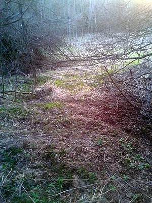
Light water art
As Heller Waterworks one is water Art on Birnbaum Bach called. A stamp mill was operated with the arts. All parts of the mining water management, regardless of the condition, were placed under protection as area monuments in 1991 - the remnants of the Heller Wasserkunst are therefore under monument protection .
history
It is not known when the plants were built. The history of the facilities goes back to around 1300. At this time, the Marienthal, Riddagshausen and Michaelstein monasteries received mining rights for ore in the upper Selketal , in particular "in loco qui Birbom vulgariter appelatur" (at a place that is usually called pear tree ). In addition to three wheel chambers and several artificial trenches, Heller Wasserkunst also included a small artificial pond.
The pear tree shafts of the Anhalt mining industry were put into operation in 1536. The water wheels of the Heller Wasserkunst operated a stamping mill and transferred the water power to the pumping systems of the shafts via a one-kilometer-long field linkage .
These proved to be susceptible again and again. In addition, the strength was not enough to cope with the mine water. In 1699 the higher-lying pear tree pond was built. From 1761–1762 the Silberhütter Kunstgraben was extended and reached the upper pear tree via the Anhaltischer Graben section . From 1865 the deep pear tree tunnel up to the Meisebergschacht was penetrable and significantly improved the water solution. The facilities in the Heller Grund lost their importance.
In addition to the small artificial pond, only the pit for the stamping mill has survived. Today, several mining firs mark the location of the water arts in the area.
Artificial pond
| Art pond in the Heller Grund | |||||||||
|---|---|---|---|---|---|---|---|---|---|
| Pond dam | |||||||||
|
|||||||||
|
|
|||||||||
| Coordinates | 51 ° 37 '6 " N , 11 ° 4' 56" E | ||||||||
| Data on the structure | |||||||||
| Lock type: | Earthfill dam | ||||||||
| Construction time: | before 1600 | ||||||||
| Height above valley floor: | 370 m | ||||||||
| Crown length: | 44 | ||||||||
| Data on the reservoir | |||||||||
| Water surface | 15.3 a | ||||||||
| Reservoir length | 41 m | ||||||||
| Reservoir width | 45 m | ||||||||
About 650 meters below the pear tree pond, the pear tree creek is dammed again in the probably nameless little artificial pond of the Heller Wasserkunst. Here the stream has an unnamed tributary on the left side that flows into the pond. The tributary rises at a height of about 398 meters and is about 390 meters long. On the left, an unnamed trickle of approx. 210 meters in length joins about half the course of the stream, at an altitude of 375 meters . The pond is less than 0.2 hectares . The height of the foundation is unknown, the length of the top of the pond dam is only around 44 meters.
The conservation status of the pond is very poor. The dam has leaks and is overgrown with bushes and trees.
swell
- ↑ a b c Mining fir water art systems in Heller- u. Pear tree ground
- ↑ From the story of Neudorf. (PDF; 39 kB) (No longer available online.) Tourist-Information Neudorf, p. 6 , archived from the original on May 24, 2010 ; Retrieved February 12, 2012 . Info: The archive link was inserted automatically and has not yet been checked. Please check the original and archive link according to the instructions and then remove this notice.
- ↑ a b Development and current function of facilities of the historical mining water management in the Lower Harz . In: Wilfried Strenz, Working Group Historical Geography of the Geographical Society of the GDR (ed.): Historical-geographical research in the GDR . Hermann Haack Geographisch-Kartographische Anstalt, Gotha 1986, ISBN 3-7301-0803-4 .
- ↑ Wilfried Ließmann: Historical mining in the Harz . 3. Edition. Springer, Berlin 1997, ISBN 978-3-540-31327-4 .
- ↑ a b official topographic map of Saxony-Anhalt (TK 10 000 color)


