Herthasee (Holzappel)
| Herthasee | ||
|---|---|---|

|
||
| The Herthasee in autumn | ||
| Geographical location | Rhineland-Palatinate , Rhein-Lahn-Kreis | |
| Data | ||
| Coordinates | 50 ° 21 '38 " N , 7 ° 53' 59" E | |
|
|
||
| Altitude above sea level | 323 m | |
| surface | 6 ha | |
| Maximum depth | 10 m | |
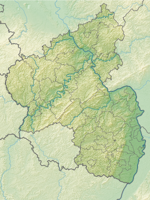
The Herthasee is located directly on the federal highway 417 between Holzappel and Horhausen in the Nassau Nature Park in Rhineland-Palatinate . The lake is 323 m above sea level. NN height at the foot of the peak. It has an area of about six hectares and a maximum depth of ten meters. Its idyllic surroundings and its good water quality make it a popular destination.
The lake was created in 1846 when the construction of a dam ensured the fresh water supply to the nearby Holzappel pit . The Herthasee is thus an artificial lake. The lake has been called Herthasee since 1907; previously it was called Wackerhannes or Wackerhans pond .
A circumnavigation on the given path is 1040 meters.
