Hornauskogel
| Hornauskogel | ||
|---|---|---|
| height | 500 m above sea level A. | |
| location | Vienna , Austria | |
| Mountains | Vienna Woods | |
| Dominance | 0.44 km → Kaltbründlberg | |
| Coordinates | 48 ° 10 '11 " N , 16 ° 12' 40" E | |
|
|
||
At 500 meters, the Hornauskogel is the second highest mountain in Vienna's 13th district, Hietzing .
geography
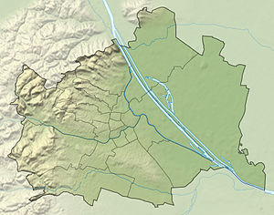
The Hornauskogel is located in the southwestern part of the Hietzing district and is part of the Lainzer Tiergarten . The Kaltbründlberg - whose wooden Hubertuswarte used to stand on the Hornauskogel - is only about 1 km to the east , and the Brandberg is to the northwest . The largely forested mountain is part of the Vienna Woods Mountains , the northeastern branch of the Eastern Alps . On the northern slope of the Hornauskogel there are also parts of the headwaters of the Rotwasser , a tributary of the Vienna .
Origin of name
The name of the Hornauskogel was first documented in 1788 as Hurnauskogel kk forest . In 1819 it was called Hornauskogl . The name comes from the Middle High German " hornuʒ " ( hornet ) and is derived from the insects that live on the hill.
literature
- Margarete Platt: The field names in the 10th, 12th and 13th districts of Vienna and in Inzersdorf . Dissertation, Vienna 1997.

