Illawatura
| இல்லவதுர Illawatura |
||
|---|---|---|
|
|
||
| Coordinates | 7 ° 10 ′ N , 80 ° 34 ′ E | |
| Basic data | ||
| Country | Sri Lanka | |
| Central Province | ||
| ISO 3166-2 | LK-2 | |
| height | 476 m | |
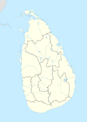
Illawatura ( Tamil : இல்லவதுர, or Illavatura ) is a small village in the central province of Sri Lanka . It is located about 6 kilometers east of Gampola , about 20 kilometers south of Kandy and about 85 kilometers east of Colombo at an altitude of 476 meters. The population consists mainly of Muslims . The Mahaweli River flows through Illawatura.
The Illawatura Rahmaniya Muslim Vidyalaya School is the only school in Illawatura. The school teaches over 100 students. Illawatura is over 750 meters from Zahira College (Gampola) .
Web links
Individual evidence
- ↑ Delve into Illawatura . Tripmondo. Accessed January 10, 2019. (English)
- ↑ Illawatura . Mapcarta. Retrieved January 17, 2018.
- ^ Map of Central district in Sri Lanka . Mapsguidesandmore. Retrieved January 18, 2018. (English)
- ↑ llawatura Rahmaniya Muslim Vidyalaya , Gampola, Sri Lanka . list.lk. Retrieved January 18, 2018. (English)
