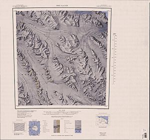
Jutland Glacier
| Jutland Glacier | ||
|---|---|---|
| location | Victoria Land , East Antarctica | |
| Mountains | Victory Mountains , Transantarctic Mountains | |
| Coordinates | 71 ° 55 ′ S , 166 ° 12 ′ E | |
|
|
||
| drainage | Greenwell Glacier | |
|
Estuary on the southern edge of the map |
||
|
Origin on the northern edge of the map |
||
The Jutland Glacier is a 24 km long and 6 km wide glacier in East Antarctica, Victoria Land . In the Victory Mountains, it flows from the shared watershed with the Midway Glacier to the Greenwell Glacier , which it reaches northwest of Boss Peak .
The United States Geological Survey mapped it based on its own measurements and aerial photographs of the United States Navy from 1960 to 1963. The northern group of the New Zealand Federated Mountain Clubs Antarctic Expedition (1962–1963), which explored the area of the glacier, named him after the Battle of Jutland (English Battle of Jutland ) in the First World War , which is better known in the German-speaking area under the name Skagerrakschlacht .
Web links
- Jutland Glacier in the Geographic Names Information System of the United States Geological Survey (English)
- Jutland Glacier on geographic.org (English)


