Kaien
| Kaien | ||
|---|---|---|
|
Historic aerial photo by Walter Mittelholzer from 1923 |
||
| height | 1119.7 m above sea level M. | |
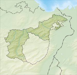
| location | Canton of Appenzell Ausserrhoden , Switzerland | |
| Dominance | 3.1 km → headquarters | |
| Notch height | 145 m ↓ Kaien | |
| Coordinates | 755.81 thousand / 255 560 | |
|
|
||
The Kaien is a 1120 meter high mountain in the Appenzeller Vorderland . The summit is also called Kaienspitz .
Nearby are the towns of Rehetobel , Grub AR and Heiden AR . Next to the summit there is a house for friends of nature and in winter it is possible to take a ski lift from Grub to the ski areas.
The Kaien offers a view of the Appenzeller Land and the Alpstein in the closer area , further you can overlook Lake Constance , the Hegau, the Thurgau, the Bregenz-Pfänder area and see mountain peaks up to the Pilatus and the Little and Big Mythen.
literature
- Raphaela Moczynski: Kompass hiking guide Bodensee . Dumont Reiseverlag, 2017, ISBN 978-3-99044-192-3 , p. 204 ( books.google.de ).
Web links
- Topographic map of the area map.schweizmobil.ch

