Khawa Karpo
| Khawa Karpo | ||
|---|---|---|
|
Eastern flank of the Khawa Karpo |
||
| height | 6740 m | |
| location | Yunnan | |
| Mountains | Meili Xueshan / Hengduan Shan | |
| Coordinates | 28 ° 16 ′ 0 ″ N , 98 ° 25 ′ 0 ″ E | |
|
|
||
| Tibetan name |
|---|
|
Tibetan script :
ཁ་ བ་ དཀར་པོ་
|
|
Wylie transliteration : kha ba dkar po
|
| Chinese name |
|
Simplified :
卡瓦格博;
卡瓦 噶 博 雪山 |
|
Pinyin : Kawa Gebo;
Kawa Gabo Xueshan |
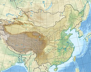
The Khawa Karpo ( Tib . : kha ba dkar po ) is the highest mountain in the Chinese province of Yunnan . It is one of the so-called Eight Great Sacred Mountains of Tibet . It lies in the west of the circle Dêqên of the Tibetan Autonomous Prefecture Dêqên in the northwestern Chinese province of Yunnan. It has a height of 6740 m.
It is the highest peak of the Meili Xueshan (Chinese 梅里 雪山 or Meili Snow Mountains), which belongs to the Hengduan Shan Mountains in the southeast of the Tibetan highlands .
Every year, Tibetan pilgrims from the areas of Qamdo , Garzê and other places come to the region of the mountain. A British mountaineering expedition in 1902 failed. On January 3, 1991, 17 participants in a Japanese expedition lost their lives. For cultural and religious reasons, the local government passed laws in 2001 to prevent any future attempts to climb the mountain. The summit has not yet been climbed.
literature
- Zangzu da cidian . Lanzhou 2003
See also
Web links
References and footnotes
- ↑ Chinese Kawa Gebo 卡瓦格博; Kawa Gabo Xueshan 卡瓦 噶 博 雪山 (among others)


