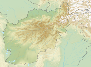
Kohe Urgunt
| Kohe Urgunt | ||
|---|---|---|
| height | 7038 m | |
| location |
Badachschan ( Afghanistan ), Khyber Pakhtunkhwa ( Pakistan ) |
|
| Mountains | Hindu Kush | |
| Dominance | 9.46 km → Kohe Langar | |
| Notch height | 1668 m ↓ ( 5370 m ) | |
| Coordinates | 36 ° 39 '32 " N , 72 ° 9' 43" E | |
|
|
||
| First ascent | September 4, 1962 by Simon Burghardt, Alois Strickler, Hanspeter Ryf and Max Eiselin | |
The Kohe Urgunt ( Sirt-e-Urgend-e-Bala , "snow peak of the upper Urgunt valley") is a mountain in the Hindu Kush main ridge on the Pakistani-Afghan border.
location
The Kohe Urgunt has a height of 7038 m . The Hoski-o-Shayoz glacier flows on its southern flank . 5.92 km to the west is the 6550 m high Shar Dhar . 6.3 km to the east is the 7,017 m high Akher Tsagh .
Ascent history
The Kohe Urgunt was first climbed in 1962 by a Swiss expedition from Langar on the Tajik border . On September 4th, Simon Burghardt , Alois Strickler , Hanspeter Ryf and Max Eiselin managed to climb the summit. Alois Strickler and Victor Wyss reached the summit on September 7th .
Web links
- Kohe Urgunt on Peakbagger.com (English)
Individual evidence
- ^ A b Asia, Afghanistan, Expeditions to the Hindu Kush in 1962. In: American Alpine Journal, 1964, vol. 14. Retrieved November 11, 2018 .
