Kon-Tiki-Nunatak
| Kon-Tiki-Nunatak | ||
|---|---|---|
|
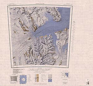
Topographic map with the Kon-Tiki-Nunatak in the Nimrod Glacier (left of center) |
||
| height | 1300 m | |
| location | Ross Dependency , Antarctica | |
| Mountains | Transantarctic Mountains | |
| Coordinates | 82 ° 33 ′ 0 ″ S , 159 ° 52 ′ 0 ″ E | |
|
|
||
| Normal way | Alpine tour (glaciated) | |
The Kon-Tiki Nunatak is a 1300 m high nunatak in the Antarctic Ross Dependency . It rises from the Cooper Icefalls in the middle of the Nimrod Glacier .
The northern group of the 1961 to 1962 campaign as part of the New Zealand Geological Survey Antarctic Expedition discovered him. It named it because of its resemblance to a raft after the Kon-Tiki , with which the Norwegian explorer Thor Heyerdahl sailed across the Pacific in 1947 .
Web links
- Kon-Tiki Nunatak in the Geographic Names Information System of the United States Geological Survey (English)
- Kon-Tiki Nunatak on geographic.org (English)

