Nimrod Glacier
| Nimrod Glacier | ||
|---|---|---|
|
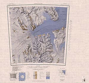
Map sheet with the Nimrod Glacier |
||
| location | Ross Dependency , Antarctica | |
| Mountains | Transantarctic Mountains | |
| length | 136 km | |
| Coordinates | 82 ° 21 ′ S , 163 ° 0 ′ E | |
|
|
||
| drainage | Ross Ice Shelf | |
The Nimrod Glacier is a large, 136 km long glacier in the Antarctic Ross Dependency . It flows from the central polar plateau in a northerly direction between the Geologists Range and the Miller Range , then northeast between the Churchill Mountains and the Queen Alexandra Range , and finally over the Shackleton Inlet between Cape Wilson and Cape Lyttelton on the Shackleton Coast the Ross -Reach ice shelf .
It was mapped by aerial photographs taken by the United States Navy between 1946 and 1947. The Advisory Committee on Antarctic Names named it in 1956 in connection with Shackleton Inlet after the research vessel Nimrod , with which the British polar explorer Ernest Shackleton carried out the Nimrod expedition ( 1907–1909) had undertaken.
Web links
- Nimrod Glacier in the Geographic Names Information System of the United States Geological Survey (English)
- Nimrod Glacier on geographic.org (English)

