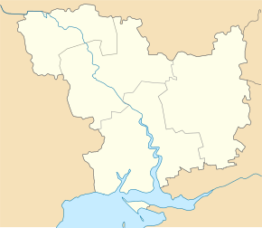
Kostychi
| Kostychi | ||
| Костичі | ||

|
|
|
| Basic data | ||
|---|---|---|
| Oblast : | Mykolaiv Oblast | |
| Rajon : | Bashtanka district | |
| Height : | 30 m | |
| Area : | 0.745 km² | |
| Residents : | 923 (2001) | |
| Population density : | 1,239 inhabitants per km² | |
| Postcodes : | 56160 | |
| Area code : | +380 5158 | |
| Geographic location : | 47 ° 17 ' N , 32 ° 13' E | |
| KOATUU : | 4820682201 | |
| Administrative structure : | 3 villages | |
| Address: | вул. Івана Франка 8б 56160 с. Костичі |
|
| Website : | City council website | |
| Statistical information | ||
|
|
||
Kostytschi ( Ukrainian Костичі ; Russian Костычи ) is a village in the Ukrainian Oblast of Mykolaiv with about 900 inhabitants (2001).
The village, founded in the middle of the 16th century (another source mentions the year 1794), is the administrative center of the district council of the same name in the west of Bashtanka district , which also includes the villages Dobrokamjanka ( Доброкам'янка , ⊙ ) with about 150 inhabitants and Lobriivka ( Лобріївка , ⊙ ) with about 200 inhabitants.
The village is located at an altitude of 30 m on the right bank of the Inhul , 32 km southwest of the Bashtanka district center and 43 km northeast of the Mykolaiv oblast center . The N 14 road runs west of the village .
Individual evidence
- ↑ a b local website on the official website of the Verkhovna Rada ; accessed on January 3, 2019 (Ukrainian)
- ↑ history Kostytschi in the history of the towns and villages of the Ukrainian SSR ; accessed on January 3, 2019 (Ukrainian)
- ^ Website of the district council on the official website of the Verkhovna Rada; accessed on January 3, 2019 (Ukrainian)

