Lac Bylot
| Lac Bylot | ||
|---|---|---|
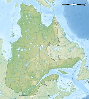
| Geographical location | Nunavik , North du Québec in Québec (Canada) | |
| Tributaries | Rivière Irsuaq | |
| Drain | Rivière Irsuaq | |
| Data | ||
| Coordinates | 60 ° 53 ′ N , 76 ° 23 ′ W | |
|
|
||
| Altitude above sea level | 150 m | |
| length | 14 km | |
| width | 11 km | |
The Lac Bylot is a lake in the administrative region Nord-du-Québec in the Canadian province of Quebec .
Lac Bylot is located in the northwest of the Ungava peninsula , 100 km northeast of the settlement of Puvirnituq . The lake is at an altitude of about 150 m . The Rivière Irsuaq , a right tributary of the Rivière de Puvirnituq , flows from Lake Juet in the north to Lac Bylot. On its southeastern bank it leaves it again and continues its course to the south. The Lac Bylot has a length of 14 km and a width of 11 km. The lake is interspersed with numerous islands.
The water was named after Robert Bylot , a ship's officer who accompanied Henry Hudson on his fourth and final voyage to Hudson Bay in 1610.
