Lac La Moinerie
| Lac La Moinerie | ||
|---|---|---|

|
||
| Satellite image | ||
| Geographical location | Nunavik region in North du Québec , Québec (Canada) | |
| Drain | Rivière Danguy to Lac Guers and on to Rivière Marralik | |
| Data | ||
| Coordinates | 57 ° 25 '37 " N , 66 ° 35' 42" W | |
|
|
||
| surface | 60 km² | |
| length | 9 km | |
| width | 9 km | |
|
particularities |
||
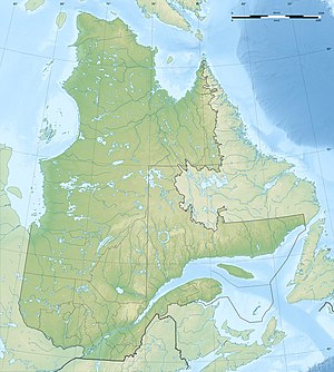
Lac La Moinerie (in the Inuit language Ammaluaq - "round lake") is a lake in the northeast of the Nunavik region in the administrative region of North du Québec in the Canadian province of Québec .
The circular lake has a diameter of 9 km and an area of 60 km². Its outflow, the Rivière Danguy , leads north to the neighboring lake Lac Guers and on to the Rivière Marralik .
The lake lies in an impact crater that was formed 400 ± 50 million years ago in the Silurian or Devonian . The original crater diameter is estimated to be 8 km.
Web links
Individual evidence
- ↑ a b c d Commission de toponymie du Québec: Lac La Moinerie
- ↑ Earth Impact Database - La Moinerie ( Memento of the original from March 3, 2016 in the Internet Archive ) Info: The archive link was automatically inserted and has not yet been checked. Please check the original and archive link according to the instructions and then remove this notice.
