Lac Nachicapau
| Lac Nachicapau | ||
|---|---|---|
| Geographical location | Nunavik , North du Québec in Québec (Canada) | |
| Tributaries | Rivière Romanet , Rivière Bouvart | |
| Drain | Rivière Nachicapau | |
| Islands | Île Pisiministikw | |
| Data | ||
| Coordinates | 56 ° 39 ′ N , 68 ° 4 ′ W | |
|
|
||
| Altitude above sea level | 170 m | |
| length | 52 km | |
| width | 6 km | |
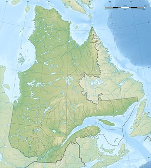
The Lac Nachicapau is a lake in the north of the Canadian province of Quebec .
The Lac Nachicapau is located 225 km northwest of Schefferville in the center of the Labrador Peninsula . The lake is in the area of the Canadian Shield at an altitude of about 170 m . It has a longitudinal extension in east-west direction of 52 km and a maximum width of 6 km. The Rivière Romanet feeds the lake from the south. The Rivière Bouvart flows into the north shore of the lake. At the western end, the Rivière Nachicapau leaves the lake and flows 10 km west into the Rivière Swampy Bay , a right tributary of the Rivière Caniapiscau . The island of Île Pisiministikw is located on the south bank of the elongated lake .
