Lake Burbury
| Lake Burbury | |||||||||
|---|---|---|---|---|---|---|---|---|---|
| Lake Burbury from the Lyell Highway bridge at Bradshaw, looking north | |||||||||
|
|||||||||
|
|
|||||||||
| Coordinates | 42 ° 7 '23 " S , 145 ° 39' 32" E | ||||||||
| Data on the structure | |||||||||
| Construction time: | 1990s | ||||||||
| Data on the reservoir | |||||||||
| Altitude (at congestion destination ) | 230 m | ||||||||
| Water surface | 80 km² | ||||||||
| Reservoir length | 24 km | ||||||||
| Reservoir width | 8.5 km | ||||||||
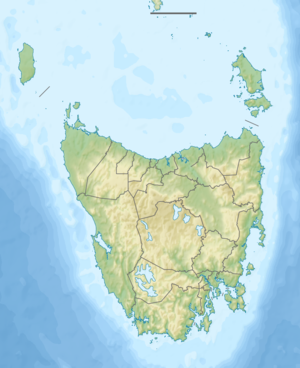
The Lake Burbury is a reservoir in the west of the Australian state of Tasmania . It is located northwest of the Franklin Gordon Wild Rivers National Park .
It was formed by the damming of several rivers in the early 1990s, including mainly the King River and Princess River . The Andrew River , which actually flows over the Franklin River into the Gordon River , is also connected to the reservoir at its southern tip.
The lake is named after a former Tasmanian governor Stanley Burbury .
The Lyell Highway , which crosses the reservoir today, was moved several kilometers to the south in this area before construction, where the narrowest point for a bridge was found at '' Bradshaw ''.
Despite the frequently changeable weather, the lake is a popular fishing water, primarily for rainbow and brown trout .
Web links
swell
- Lake Burbury - TAS . ExplorOz.com
- Map of Lake Burbury, TAS . Bonzle.com
- Steve Parish: Australian Touring Atlas . Steve Parish Publishing, Archerfield QLD 2007. ISBN 978-1-74193-232-4 . P. 58

