Laubach (Kirchsee)
| Laubach | ||
|
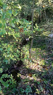
Laubach near the source at the hamlet of Kirchseemoor |
||
| Data | ||
| location |
Ammer-Loisach-Jungmoränenland
|
|
| River system | Danube | |
| Drain over | Kirchsee → Kirchseebach → Teufelsgraben (dry valley) → Mangfall → Inn → Danube → Black Sea | |
| source | Kirchseemoor 47 ° 47 ′ 58 ″ N , 11 ° 36 ′ 13 ″ E |
|
| Source height | 701 m | |
| muzzle | Kirchseebach coordinates: 47 ° 48 ′ 57 " N , 11 ° 36 ′ 40" E 47 ° 48 ′ 57 " N , 11 ° 36 ′ 40" E |
|
| Mouth height | approx. 699 m | |
| Height difference | approx. 2 m | |
| Bottom slope | approx. 0.95 ‰ | |
| length | approx. 2.1 km | |
The Laubach is a river in the Bad Tölz-Wolfratshausen district . It arises near the hamlet of Kirchseemoor and flows largely in a northward direction in meanders to the Kirchsee.
