Little Duck Key
| Little Duck Key | ||
|---|---|---|
| Beach on Little Duck Key | ||
| Waters | Gulf of Mexico | |
| Archipelago | Florida Keys | |
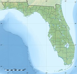
| Geographical location | 24 ° 40 ′ 51 ″ N , 81 ° 13 ′ 57 ″ W | |
|
|
||
| length | 685 m | |
| width | 317 m | |
| surface | 13.761 5 ha | |
| Residents | uninhabited | |
| Ohio Key , Missouri Key, and Little Duck Key satellite image (west to east). Lower left Bahia Honda Key (part). | ||
Little Duck Key , formerly Pacet Key , is a small uninhabited island at the southern end of the Lower Florida Keys . It has an area of 13.8 hectares (exactly: 137,615 m²).
The US Highway 1 (or the Overseas Highway ) crosses the island at MM 40, just at the southern end of Seven Mile Bridge .
The island, now called Little Duck Key , is part of a great confusion over island names between Pigeon Key and Bahia Honda Key . The island used to be called Pacet Key . It was named Little Duck Key during the construction of the Florida East Coast Railway . It was also called the Big Money Key once before . Today's Ohio Key was formerly known as Little Duck Key .
The only existing infrastructure on the island consists of picnic areas, boat piers and the Veterans Memorial Park .


