Missouri Key
| Missouri Key | ||
|---|---|---|
| Ohio Key , Missouri Key, and Little Duck Key satellite image (west to east). Lower left Bahia Honda Key (part). | ||
| Waters | Gulf of Mexico | |
| Archipelago | Florida Keys | |
| Geographical location | 24 ° 40 ′ 39 ″ N , 81 ° 14 ′ 17 ″ W | |
|
|
||
| length | 490 m | |
| width | 265 m | |
| surface | 7.730 4 ha | |
| Residents | uninhabited | |
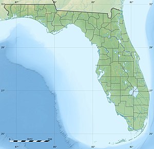
Missouri Key is a small island in the Lower Florida Keys .
The US Highway 1 (also Overseas Highway called) crosses the island at MM 39.5. The island lies between Ohio Key in the southwest (separated by the 385 meter wide Ohio Missouri Channel) and Little Duck Key in the northeast (separated by the 240 meter wide Missouri Little Duck Channel). Highway 1 runs on bridges between these islands. Along Highway 1, the island is 490 meters long. Their greatest width is 265 meters. The island has an area of 7.7 hectares (77,304 m²). The island was named after its home state by construction workers from Missouri during construction on the Florida East Coast Railway . It is also known locally as Little Grassy Key or Grassy Island .
Individual evidence
- ↑ US Highway 1 Southbound - Lower Florida Keys (with photos)
- ↑ US Census 2000, Monroe County, Census Tract 9714, Blocks 6062 and 6063

