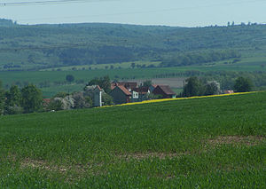
Lohberg (Berka in front of the Hainich)
| Lohberg (Berka vdH) | ||
|---|---|---|
|
Berteroda on the western edge of the Hainich, in the background the Lohberg |
||
| height | 423.9 m above sea level NN | |
| location | Thuringia ( Germany ) | |
| Mountains | Hainich | |
| Coordinates | 51 ° 2 '35 " N , 10 ° 25' 4" E | |
|
|
||
| rock | Shell limestone | |
| particularities | former military area now national park area | |
The Lohberg is a mountain, two kilometers east of the locality of Berka vor dem Hainich , in the northeast of the Wartburg district , in Thuringia .
The Lohberg is located in southern Hainich , on the former military training area of the Red Army garrison at Kindel near Wolfsbehringen and Wenigenlupnitz . The area, which was completely deforested in the 1970s, is part of today's Hainich National Park . The headwaters of the Lauterbach are located on the north side of the mountain . The mountain has been cleared on the south and west sides since the Middle Ages, a Dermerode settlement there was at Dermeröder Berg.
Individual evidence
- ↑ Official topographic maps of Thuringia 1: 10,000. Wartburgkreis, district of Gotha, district-free city of Eisenach . In: Thuringian Land Survey Office (Hrsg.): CD-ROM series Top10 . CD 2. Erfurt 1999.

