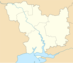
Lymany (Witowka)
| Lymany | ||
| Лимани | ||

|
|
|
| Basic data | ||
|---|---|---|
| Oblast : | Mykolaiv Oblast | |
| Rajon : | Vitovka district | |
| Height : | 12 m | |
| Area : | 5 km² | |
| Residents : | 2,154 (2004) | |
| Population density : | 431 inhabitants per km² | |
| Postcodes : | 57263 | |
| Area code : | +380 512 | |
| Geographic location : | 46 ° 44 ′ N , 31 ° 58 ′ E | |
| KOATUU : | 4823382601 | |
| Administrative structure : | 2 villages | |
| Address: | вул. Фрунзе 130 57284 с .Лимани |
|
| Statistical information | ||
|
|
||
Lymany ( Ukrainian Лимани ; Russian Лиманы Limani ) is a village in the south of the Ukrainian Oblast Mykolaiv with about 2100 inhabitants (2004).
The village was founded in 1850 and used to be called Juchymiwka ( Юхимівка ), Kyslyakivka ( Кисляківка ) and Svyatotrojitske ( Святотроїцьке ). Lymany lies on the Dnieper-Bug-Liman , the confluence of the Southern Bug and the Dnieper into the Black Sea . The village in Witowka Raion was until 2016 the center of a district council of the same name , to which the village of Luparewe ( Лупареве ) with about 1200 inhabitants belonged and has since been part of the newly founded rural community Halyzynowe . The oblast capital Mykolaiv is 32 km north of Lymany. The territorial road T – 15–01 runs through the village .
Web links
- Local history Lymany in the history of cities and villages of the Ukrainian SSR (Ukrainian)
Individual evidence
- ↑ Lymany on the official site of the Verkhovna Rada , last accessed on 18 April 2015

