
Maopora
| Maopora | ||
|---|---|---|
 |
||
| Waters | Banda Lake | |
| Archipelago | Barat Daya Islands | |
| Geographical location | 7 ° 35 '3 " S , 127 ° 35' 49" E | |
|
||
| length | 8 kilometers | |
| width | 3.1 km | |
| surface | 11.38 km² | |
| Highest elevation | 310 m | |
| Residents | uninhabited | |

Maopora is one of the Indonesian Barat Daya Islands ( Southwest Islands ) in the Banda Sea .
geography

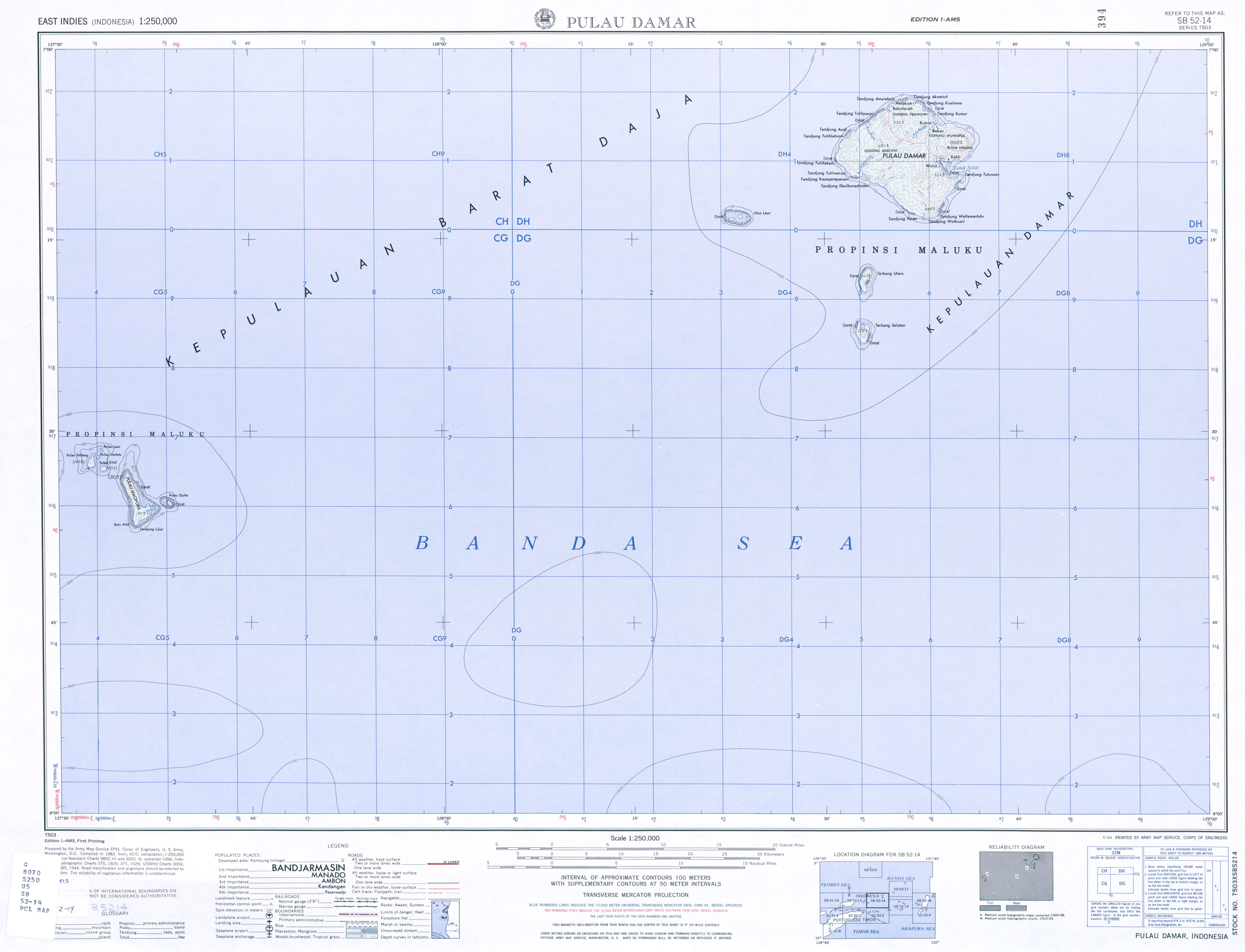
Maopora is east of the island of Romang . To the northwest are the smaller islands of Tellang , Kital , Limtutu and Laut , to the east of Maopora is the island of Djuha . The islands belong to the Kecamatan (sub-district) Pulau-Pulau Terselatan , Kabupaten (administrative district), Southwest Moluccas ( Maluku Barat Daya ), Maluku Province .
The island is uninhabited, has an area of 11.38 km² and reaches a height of 310 meters. It belongs to the Desa Jerusu on Romang.