
Mapun
| Municipality of Mapun | |||
| Location of Mapun in the Tawi-Tawi Province | |||
|---|---|---|---|

|
|||
| Basic data | |||
| Region : | Autonomous Region in Muslim Mindanao | ||
| Province : | Tawi-Tawi | ||
| Barangays : | 15th | ||
| PSGC : | 157003000 | ||
| Income class : | 4. Income bracket | ||
| Households : |
May 1, 2000 census
|
||
| Population : | 26,597 August 1, 2015 census
|
||
| Population density : | 146.7 inhabitants per km² | ||
| Area : | 181.29 km² | ||
| Coordinates : | 6 ° 59 ′ N , 118 ° 31 ′ E | ||
| Postal code : | 7508 | ||
| Website: | municipalityofmapun.tripod.com | ||
| Geographical location in the Philippines | |||
|
|||

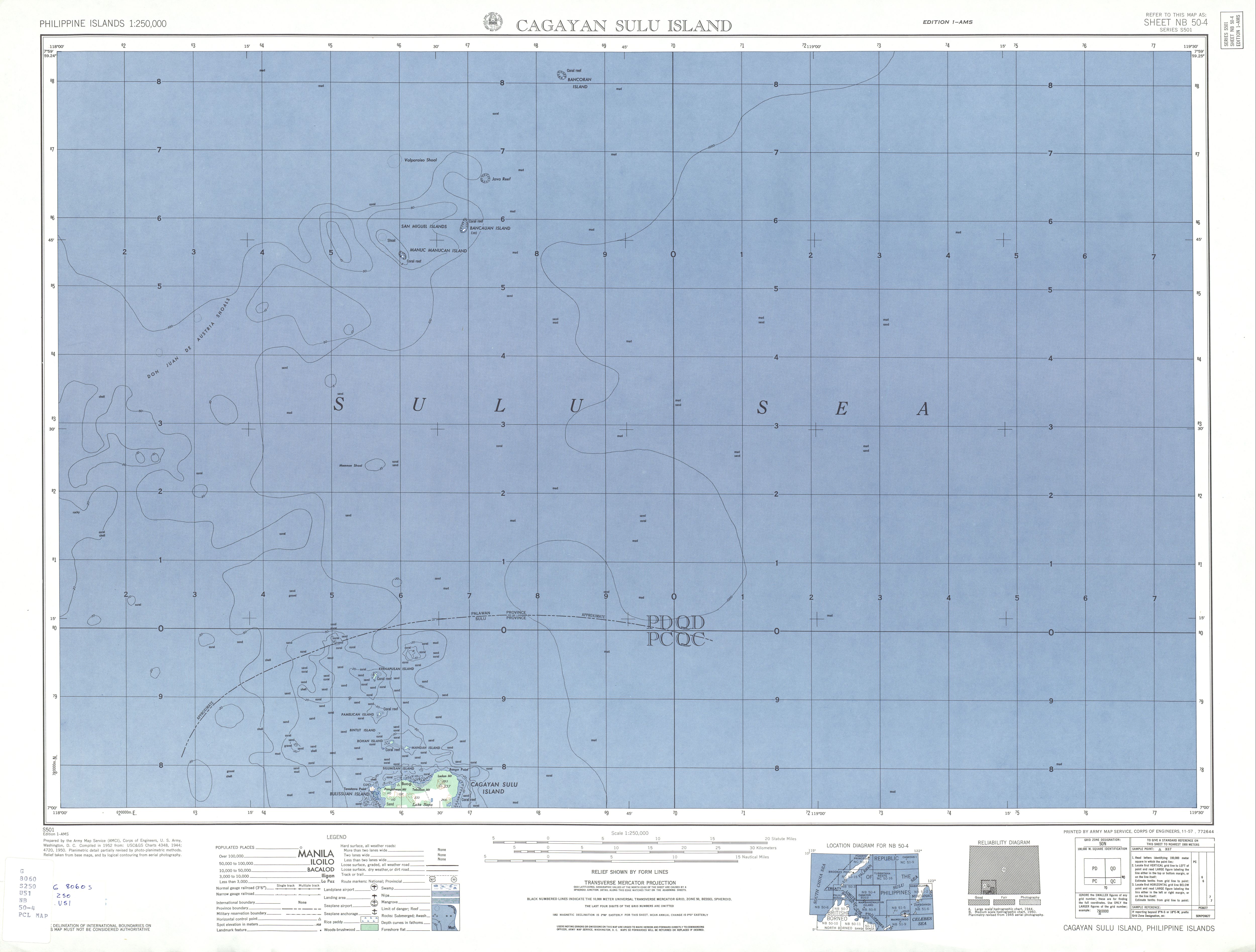
Mapun ( Filipino : Bayan ng Mapun ; Jama Mapun: Tanah Mapun ) is a Filipino municipality in the province of Tawi-Tawi , Autonomous Region in Muslim Mindanao. It has 26,597 inhabitants (August 1, 2015 census) who lived in 15 barangays . It is classified as the fourth income class community in the Philippines and as urbanized .
Mapun is situated in the Sulu Sea , about 295 km north of the provincial capital Panglima Sugala away, and includes the island of Cagayan de Tawi-Tawi and its surrounding islands . Furthermore, the remote islands of Manuc Manucan, Bancauan and Bancoran belong to the municipality, which are between 58 and 90 kilometers to the north. It can only be reached by ship.
The largest group of the population is made up of the Jama Mapun (eng: 'People of Mapun'), who are mostly Muslim and speak the Pullun Mapun language. Other indigenous peoples living in the community are the Sama Badjao , Pangutaran, Tausūg and the Yakan.
Older names for the community were Cagayan de Sulu and Cagayan de Tawi-Tawi , since September 5, 1988 it is officially called Mapun.
Barangays
- Boki
- Duhul Batu
- Compang
- Lupa Pula
- Guppah
- Mahalu
- Pawan
- Sikub
- Tabulian
- Tanduan
- Umus Mataha
- Iruk-Iruk
- Liyubud (Pob.)
- Lubbak Parang
- Sapah