Medicine Bow Mountains
| Medicine Bow Mountains | ||
|---|---|---|
|
Medicine Bow Mountains off US Highway 287 in Larimer County , Colorado |
||
| Highest peak | Clark Peak ( 3947 m ) | |
| location | Colorado , Wyoming (USA) | |
| part of | Rocky mountains | |
|
|
||
| Coordinates | 40 ° 50 ′ N , 106 ° 5 ′ W | |
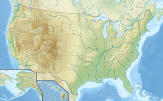
The Medicine Bow Mountains are a mountain range of the Rocky Mountains that extend in the United States for around 130 km from northern Colorado to neighboring Wyoming . It is separated in the south by the Cameron Pass from the Never Summer Mountains and the Front Range , forms the natural border between the districts of Jackson and Larimer in Colorado in the north , before it spreads in Wyoming over the districts of Albany and Carbon and thereby mostly strongly flattened. Most of Wyoming's mountain range is in the Medicine Bow National Forest .
The highest peaks of the Medicine Bow Mountains are the Clark Peak in Colorado with 3947 meters and the Medicine Bow Peak with 3661 meters in the northern foothills of Wyoming.
The mountain range drains on its western side over the Michigan River and the Canadian River into the North Platte River . On the eastern side, it also drains into the North Platte River via the Laramie River.

