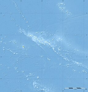
Mont Duff
| Mont Duff | ||
|---|---|---|
|
Mont Duff |
||
| height | 441 m | |
| location | Mangareva , Gambier Islands , French Polynesia | |
| Coordinates | 23 ° 7 '44 " S , 134 ° 58' 26" W | |
|
|
||
| rock | basalt | |
| Age of the rock | 5.6 - 5.7 million years | |
| particularities | Highest mountain in the Gambier Islands | |
|
Mt. Duff in the southeast of the island, at 1447 feet |
||
The Mont Duff is the highest mountain on the island of Mangareva and therefore also the highest point in the Gambier Islands in the Tuamotu Archipelago in French Polynesia . It is located in the southeast of the island and reaches a height of 441 m above sea level. The mountain is named after the missionary ship Duff of the London Missionary Society and thus one of the few mountains in French Polynesia that does not have a Polynesian name.
geology
The elevation is of volcanic origin and represents the summit of the former, partially submerged central volcano . With an age of 5.6 to 5.7 million years, the Gambier Islands are the only atoll of the Tuamotu archipelago that still has central islands made of volcanic rock ( basalt ) having. They arose from a hot spot on the Pacific plate moving northwest at a rate of 12.5 cm per year.
Web links
- Mont Duff near mountainsmounts (English)
- Pictures from Mont Duff near Panoramio


