Morne Fraser
| Morne La Source | ||
|---|---|---|
| height | 690 m | |
| location | Dominica | |
| Coordinates | 15 ° 27 ′ 7 ″ N , 61 ° 16 ′ 39 ″ W | |
|
|
||
| Type | Stratovolcano | |
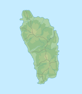
Morne La Source is with its second summit Morne Fraser ( 693 m ) the landscape-defining volcanic mountain range in the Carib Territory in the island state of Dominica .
geography
The mountain is located in the east of the country in the area of the Parish Saint David . Numerous streams arise in the slopes of the mountain, including the Charles Warner River , Ravine Bois Diable , Salibia River , Kusarakua and Wakaman River , as well as tributaries of the Castle Bruce River ( Yellow River ) from the southern slope . The most important settlements in the area are Castle Bruce and Crayfish River .
swell
- Michal Kasprowski: Commonwealth of Dominica Street Map. (1: 40,000, customized printing).
literature
- AL Smith, MJ Roobol, GS Mattioli, JE Fryxell, GE Daly, LA Fernandez: The Volcanic Geology of the Mid-Arc Island of Dominica. [Geological Society of America Special Paper; Vol. 496] Geological Society of America 2013. ISBN 0813724961 , 9780813724966
