Mount Durham
| Mount Durham | ||
|---|---|---|
|
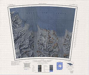
Topographic map with Mount Durham (top right) |
||
| height | 860 m | |
| location | Marie-Byrd-Land , West Antarctica (politically: Ross Dependency ) | |
| Mountains | Tapley Mountains , Queen Maud Mountains , Transantarctic Mountains | |
| Coordinates | 85 ° 33 ′ 0 ″ S , 151 ° 12 ′ 0 ″ W | |
|
|
||
| First ascent | December 1934 by Laurence McKinley Gould et al. | |
| Normal way | Alpine tour (glaciated) | |
Mount Durham is a 860 m high and mostly ice-free mountain on the Gould coast of the west Antarctic Marie-Byrd-Land . At the northwestern end of the Tapley Mountains, it rises on the east side of the mouth of the Scott Glacier into the Ross Ice Shelf .
A team around the US geologist Laurence McKinley Gould (1896-1995) discovered him in December 1929 as part of the Byrd Antarctic Expedition (1928-1930) under the direction of the US polar explorer Richard Evelyn Byrd . The first ascent in December 1934 succeeded a team led by the US geologist Quin Blackburn (1900-1981) as part of Byrd's second Antarctic expedition (1933-1935). Byrd named the mountain after the city of Durham in the US state of New Hampshire , home of Stuart Douglas Lansing Pain (1910-1961), who was involved in the first ascent.
Web links
- Mount Durham in the Geographic Names Information System of the United States Geological Survey (English)
- Mount Durham on geographic.org (English)

