Mount Gaberlein
| Mount Gaberlein | ||
|---|---|---|
| height | 1210 m | |
| location | Victoria Land , East Antarctica | |
| Mountains | Prince Albert Mountains , Transantarctic Mountains | |
| Coordinates | 75 ° 4 ′ 0 ″ S , 162 ° 4 ′ 0 ″ E | |
|
|
||
|
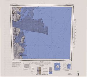
Map sheet Relief Inlet from 1966, southeast part of the Prince Albert Mountains with Mount Gaberlein and Mount Bellingshausen in the northwest of the map |
||
Mount Gaberlein is a 1210 m high mountain in East Antarctic Victoria Land . In the Prince Albert Mountains, it rises 5.5 km north-northwest of Mount Bellingshausen .
The United States Geological Survey mapped it on the basis of its own measurements and with the help of aerial photographs of the United States Navy between 1957 and 1962. The Advisory Committee on Antarctic Names named it in 1968 after the senior building electronics engineer William E. Gaberlein (1934-2007) of the US Navy who was part of the McMurdo station occupation in the Antarctic winter of 1962 and 1964 .
Web links
- Mount Gaberlein in the Geographic Names Information System of the United States Geological Survey (English)
- Mount Gaberlein on geographic.org (English)

