Mount Marston
| Mount Marston | ||
|---|---|---|
|
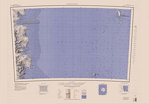
Mt Marston in the southwest area of the map sheet |
||
| height | 1245 m | |
| location | Victoria Land , East Antarctica | |
| Mountains | Transantarctic Mountains | |
| Coordinates | 76 ° 54 ′ 0 ″ S , 162 ° 12 ′ 0 ″ E | |
|
|
||
Mount Marston is a 1245 m high mountain in the shape of a whale back on the Scott coast of the East Antarctic Victoria Land . It rises about 5 km north of the formation area of the Mackay Glacier on the north side of the Kar plateau .
Participants in the Nimrod expedition (1907-1909), led by the British polar explorer Ernest Shackleton, discovered him. The mountain is named after the British painter and graphic artist George Marston (1882–1940), a member of the expedition.
See also
Web links
- Mount Marston in the Geographic Names Information System of the United States Geological Survey (English)
- Mount Marston on geographic.org (English)
- Mount Marston. In: Kenneth J. Bertrand and Fred G. Alberts, Geographic names of Antarctica , US Govt. Print. Off., Washington 1956, p. 205 (English)

